Weird Issue with layers geometry

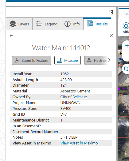
Hi. For an app we are working on, some layers have feature actions disabled: Zoom to Feature and Flash Feature. The layers belong to a service published as a map image service. In our app, we also have feature layers, and they don't have this issue.
I would assume these capabilities would be supported for map image services. After all, it's supported in esri map viewer app and more broadly by the 4x javascript sdk.
Any advice on this? Thanks.
-

Hi Zorba Conlen in my experience, the Zoom to Feature requires a feature layer. Do you have feature access turned on for this map image layer as described here? https://support.esri.com/en-us/knowledge-base/how-to-enable-feature-access-of-a-map-image-layer-in-ar-000030796
0 -
Hi Gareth, I was wondering about that, but it turned out to be a different issue. In the Pro document from which the service was published, the shape field was configured to not be visible. So, the fix is to make that field visible and re-publish the service. It was a bit confusing because the service was working fine in esri map viewer app - one could zoom to a feature, etc.
So, it's not required to enable feature access for the service. That's good, because sometimes we need to use map image services. Mainly because we need the more advanced capabilities for cartography and labeling.
Thanks
0
Vous devez vous connecter pour laisser un commentaire.
Commentaires
2 commentaires