print map shows base map that's turned off in preview
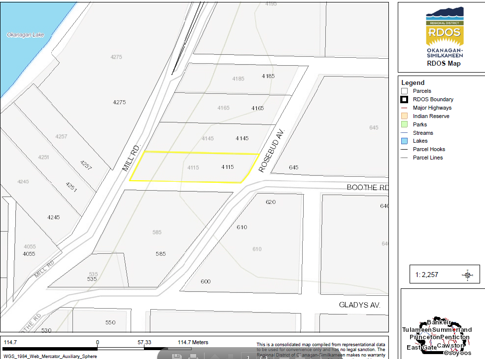
I have a base map that turns off when it gets to 1:5,000 or larger. It looks correct on the screen before printing (the scale is about 1:2,200) but the base map appears on the pdf. Is this a known issue?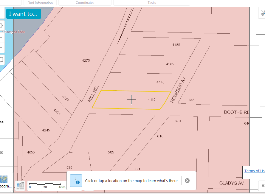
0
-

If anyone else is having this issue, tech support was able to help me resolve it by adding this line of code to the web.config file: <add key>="gcx.gis.printRespectsTiledServiceScaleLimits" value="true" /> 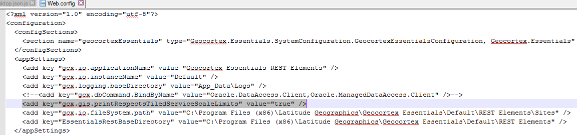 0
0
Please sign in to leave a comment.
Comments
1 comment